Australia Weather News
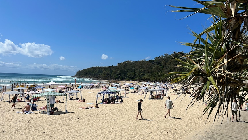
The break from the rain is expected to continue. (ABC Sunshine Coast: Owen Jacques)
Most of Queensland will get a break from rain over the Easter weekend, with just light showers expected in some parts of the state.
The Bureau of Meteorology said it would monitor a tropical low that could move towards the Gulf of Carpentaria and bring heavy rainfall to the north later in the week.
"Between Monday and Friday next week, we're looking at some light costal showers for much of the east coast and the north tropical coast which may include K'gari (Fraser Island) and parts of the Sunshine Coast," senior meteorologist Steve Hadley said.
"Cairns and Ingham they will probably catch a few more showers over the Easter period but nothing too heavy at this stage.
"It could be a different story for Cooktown and further north depending on how the tropical low evolves, but at this stage, it's not really clear who will be affected."
Rainfall in the state
Some parts of the state experienced significant rainfall at the weekend.
In far north Queensland, the community of Lockhart River was cut off after unseasonal torrential rain caused bubbles to form in the runway at the town's airport.
The remote community in Cape York, about 800 kilometres north of Cairns, received more than 500 millimetres in three days.
Lockhart River Aboriginal Shire Council Mayor Wayne Butcher said they were used to the wet, but not at this time of year.
"This is definitely different, the amount of rain we have had in the past few days doesn't normally happen in April," Cr Butcher said.
When the river is high and the roads are flooded the only way in and out of the community is by air.
The damage to the airstrip caused by heavy rainfall happened last Thursday but there has not been a break in the weather to start repairs.
Cr Butcher said it meant government workers were stuck in town and residents who had left were unable to return home.
The airport is expected to be closed until Tuesday.
Mr Hadley said parts of south-east of the state also received a drenching and recorded one of its wettest days in recent years.
"It was the wettest April day in 10 years for Gympie with 59.6mm and in at least 22 years of Redcliffe and they had 99.4mm," he said.
Ex-Tropical Cyclone Alfred recovery
After a few days break due to weather, sand pumping works to replenish the Gold Coast's eroded beaches is set to resume this week.
The Gold Coast City Council contracted a dredging barge to help replace 4 million cubic metres of sand washed away from the city's beaches during ex-Tropical Cyclone Alfred.
The 75-metre-long vessel began pumping sand on April 5, but on Friday evening, work was paused.
A council spokesperson said the barge was unable to operate in large swells and it was expected to return to work this week when swell conditions were safe.
Strong wind warning
The Bureau of Meteorology said there were strong wind warnings in place that could extend into the week.
"We've got strong winds anywhere from the K'gari Coast all the way up to the peninsula over the next couple of days," Mr Hadley said.
Surf Live Saving Queensland regional operations manager Darren Everard has urged beachgoers to check warnings before getting into the water to swim.
"At Moore Park Beach just north of Bundaberg, the team there shut the beach because of a high swell running due to the high tide," he said.
Sun after drenching
While some flood warnings remain in place for parts of western Queensland, there was a reprieve for residents at the weekend.
"It will be ongoing dry weather, we've downgraded a couple of flood warnings, the Paroo River has been downgraded to a moderate," Mr Hadley said.
"Thargomindah has dipped below the major flood level, but major flood warnings remain in place for the bottom end of the Warrego River near Cunnamulla."
ABC