Australia Weather News
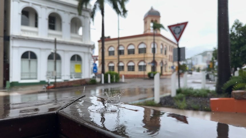
Areas north of Townsville, from Rollingstone to Cooktown, could receive isolated rainfall totals of up to 200mm on Monday. (ABC News: Lucy Loram)
The Bureau of Meteorology is forecasting wet conditions for north Queensland today, with the possibility of a tropical low forming in the Gulf of Carpentaria.
Senior forecaster Felim Hanniffy said areas north of Townsville, from Rollingstone to Cooktown, could receive isolated rainfall totals of up to 200mm, with wet weather continuing through the week.
"It's all linked to a very active period across the northern tropics of Australia, so it does mean a wetter pattern for much of this coming week across northern Australia," he said.
Although north Queensland catchments soaked by were given some time to dry out last week, the BOM said heavy rainfall in coming days could impact river systems.
"They've still remained wet from that massive rain event in February. We could see some moderate to heavy accumulations," Mr Hannify said.
"We're looking at extensive showers and cloud areas broadly across northern Queensland, right down along the tropical east coast."
Mr Hannify said the possible development of the monsoon off the Northern Territory or the coast of Western Australia this week would have a knock-on effect for north Queensland.
He said these conditions could lead to the development of a tropical low in the western Gulf of Carpentaria.
"It may help to enhance the rainfall along parts of the southern Gulf coast, so areas around the Gulf Country could see some moderate or even locally heavy falls in the early days of this week," he said.
"That system has a very low chance of tropical cyclone development."
Areas including Tully and Innisfail received more than 100mm of rain overnight.
In north Queensland, there is a moderate flood warning for the Tully River.
There are minor flood warnings for the Johnstone River Catchment, Mulgrave and Russell rivers.\
Gulf grazier prays for rain
Normanton grazier Ashley Gallagher said after an unseasonably dry wet season, he was desperate to receive some heavy falls.
"We've got dams that have received very little rain this wet season, we haven't had any big storms to fill them," he said.
Mr Gallagher said he was worried his property had not received enough rain to supply their cattle for the year.
"We're starting to think about what we do, whether we lighten the load and try to sell our cattle off.
"Or do we have to buy water trucks and cart water in?
"Every grazier [here] is praying that the rain comes. It's been such a long, hot, wet season. If we get some rain, that'd be good."
Hot days for the south-east
Sunny conditions will continue across the state's south-east today, with temperatures expected to be unseasonably warm for this time of year.
The BOM predicts temperatures could rise between two and six degrees above average.
On the Gold Coast, Surfers Paradise is headed for a top of 31 degrees Celsius, while Maroochydore is set to reach 30C.
Mr Hanniffy said there was the chance of thunderstorm activity this afternoon across inland parts of south-east Queensland.
The Darling Downs will also see high temperatures and the chance of light showers or an isolated storm, according to the BOM.
With ex-Tropical Cyclone Alfred in the rear-view mirror, flood conditions across southern Queensland have eased.
The only remaining warning across the region was for minor flooding at the Lower Condamine River near Toowoomba.
ABC