Australia Weather News
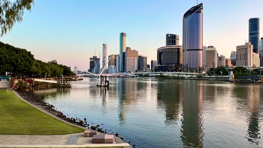
Early risers in Brisbane started their week with a chill, as cool winds swept across the state. (Supplied: John Bashford)
Queenslanders may have noticed a chill in the air this morning, with strong winds to blame for the "temperature rollercoaster" being felt across the state.
Bureau of Meteorology (BOM) senior forecaster Shane Kennedy said the "temperature fluctuations" would peak early this week.
"There's quite a strong high-pressure system in the Great Australian Bight that's really driving that air from the southern ocean, up across eastern Australia," he said.
"When [the wind is] coming from the south, it's still quite cold over the Southern Ocean, so we can still get really quite chilly conditions and some frost inland, as we're likely to see the next couple of days.
"But then when that wind swings around to the north and north-east it can really be quite warm, so we can really feel that temperature rollercoaster as the wind swings around."
The chilly winds are a stark difference to the warmer days Queensland had been settling into, with the "hot spell" attributed to a slow-moving weather system that BOM said was unusual for that time of year.
Mr Kennedy said temperatures on the Darling Downs, including the Granite Belt, were two to six degrees below average on Monday morning.
In the Southern Downs, Roma recorded 1.4 degrees Celsius — which is eight degrees cooler than usual for this time of year — while Applethorpe saw frost.
Mr Kennedy said parts of the Granite Belt and Oakey could see the mercury drop even further on Tuesday morning, and is predicted to fall "pretty close to zero degrees".
He said things "may be just a fraction warmer on the Wednesday, but still cold enough to see some frost around Roma and the Darling Downs" in the morning.
Is it chillier than usual?
Mr Kennedy said, while this week had "felt quite a bit chillier" than usual, thermometers in the south-east recorded "just a degree or two below average" on Monday.
"We had a vigorous south-easterly wind surge move through overnight, and it was still pretty windy during Monday morning," he said.
"It shaved off at least a few degrees of the actual thermometer temperature."
Brisbane dipped down to 13 degrees — only one degree below average — but the city felt cooler than 10.
Why is it so windy?
Mr Kennedy said the recent weather changes are fairly typical for a "transition month" like September.
"As we move from one season to the next, we can certainly see those temperatures fly up and down a bit depending on the wind direction," he said.
"But those winds are contracting more and more north as the week goes on."
As the sun moves back over the Southern Hemisphere and the days get longer, Mr Kennedy said there would be a contrast in temperatures between northern and southern parts of Australia.
"So those differences in temperatures can really help increase the winds and, for Queensland, we're a bit more susceptible to those changes in temperature as the wind direction swings around," he said.
When will Queensland warm back up?
The BOM expects temperatures to increase ahead of a low pressure trough next week, with warmer conditions predicted from Thursday.
"So [we're] forecasting to go up least a few degrees above average — 29 on Thursday, and then 30 on Friday and the weekend," Mr Kennedy said.
"Average in the afternoon for Brisbane is 26 degrees, a good four degrees above the average, by the end of the week. That'll be the main impact of that trough system."
The hotter weather is expected to stick around into next week, with warming oceans contributing to an increased heatwave risk.
"The Coral Sea is still unusually hot — not quite the record-breaking heat we had this time last year, but still well above average," Mr Kennedy said.
"The expectation is, through the rest of spring and into summer, we're likely to see above average temperatures both overnight and during the afternoon — largely due to the warmer-than-normal oceans, which will have a bigger and bigger influence as we go on."
The winds have increased fire dangers in the west and central districts until Wednesday before that risk moves to the south-east by the end of the week.
ABC